 As cities spread into neighbouring landscapes, so do the patterns by which human beings use that land. This is especially true in China, where urbanization is spreading fast and people are coming into conflict with their environment.
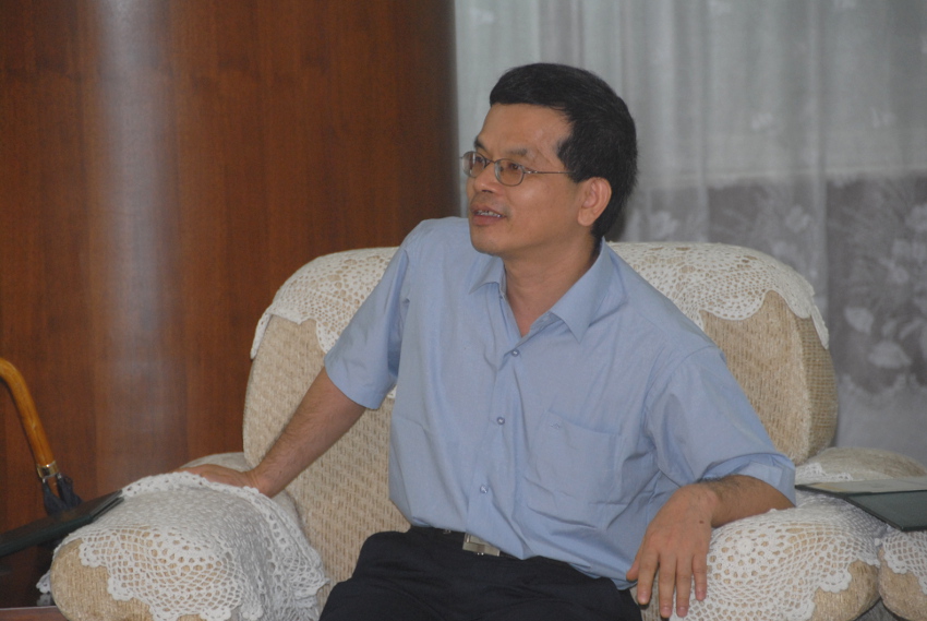
Geographical Information Systems (GIS), are computer-powered networks that help gather and crunch geographical data into useful interpretations for scientists, but these systems are still lacking when it comes to some functions, such as simulating how cities will use the land they spread into. That’s where Li Xia comes in.
Li has helped create models for both development planning and preserving precious environmental resources. He has carried out several studies finding that constraining the amount of space available in those computer simulations improves how those simulations reflect reality. His simulations have been helpful, for example, in the fast-developing Pearl River Delta, neighbouring the metropolis of Hong Kong. His simulations helped pinpoint land uses in the delta that made energy consumption less efficient, take an inventory of regional wetlands and assess how urban sprawl was encroaching on area farmland.
Li is a homegrown scientist, having received his PhD in geographical information systems from the Centre of Urban Planning and Environmental Management at the University of Hong Kong. He has worked as a researcher with both the University of Hong Kong and the Guangzhou Institute of Geography in Guangdong, China. He has been a professor at the School of Geography and Planning in Sun Yat-sen University, Guangzhou, China, since 2003, and is currently the chair professor. He also was a guest professor from at the University of Cincinnati, USA, from 2006 to 2007.
His 2000 paper on these models in IJGIS has been recommended by the journal as one of the classics of 1987-2011 which “no matter what your specialization, you should be familiar with”.

